| Home |
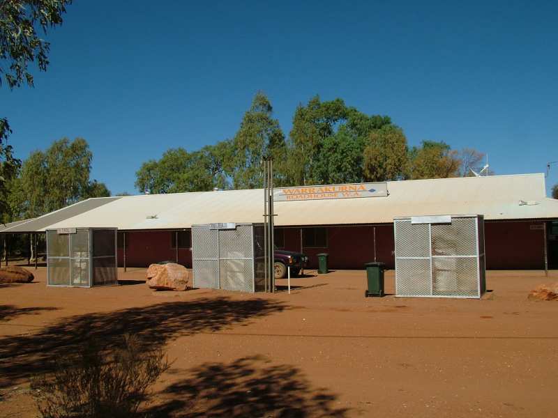
Petrol station at Warrakurna Roadhouse. Unfortunately petrol sniffing is a serious problem in many aboriginal communities. Hence the well protected petrol pumps. According to the Lonely Planet guidebooks, this is the place to ask for the road conditions on the Gunbarrel. Of course we comply with these instructions and ask the friendly bloke who is refuelling our vehicles. "Good" is the detailed answer we get for the next 1000 kms. People in the Outback don't talk that much.
 |
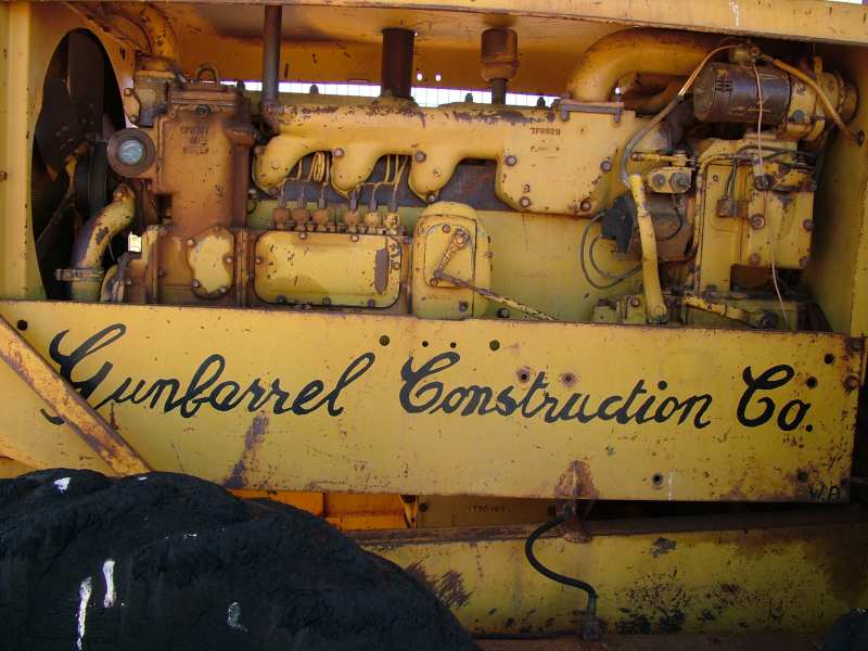 |
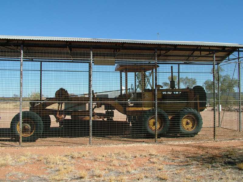
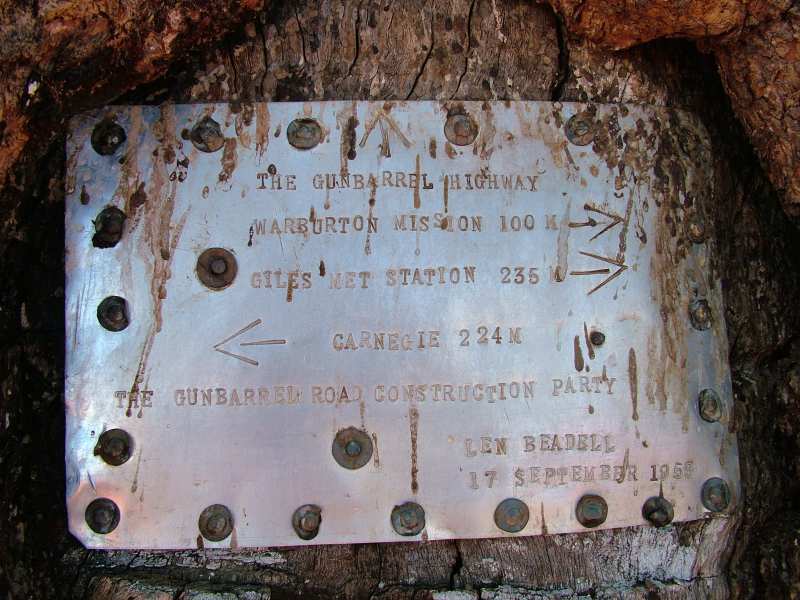
"Lennies Cat Cage" at Giles Meteorological Station is protecting the original Gunbarrel Grader from greedy bolt collectors. The purpose of building a Meteorological Station was one of the main reasons for the construction of the road. Reliable weather forecasts were essential in the program, to prevent nuclear dust clouds from drifting towards Adelaide once the British pyromanics lighted their "fireworks". To create the road three different types of vehicles have been used. In the lead "bush bashing" Lennie with his Land Rover, looking for a strait line. Once he found the right track, the bulldozer removed the mulga bushes and other shrubberies (Ni!), and behind that the grader leveled the track. The roof that offered at least a little bit of shade was mounted after the first summer.
 |
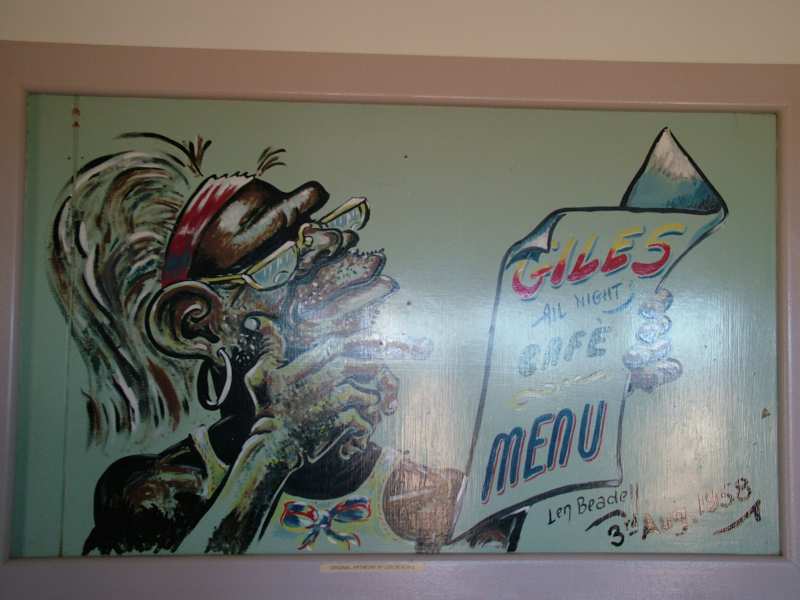 |
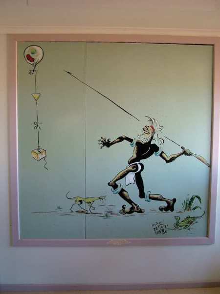
Len Beadell not only was a great pioneer, geodesist and author of many books, but also a very talented cartoonist. The showroom at Giles Meteorological Station displays some of his paintings. In the following days we will learn why he still preferred his hard job in the bush.
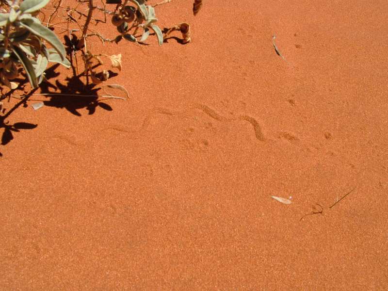
Traces in the sand along the Great Central Road.
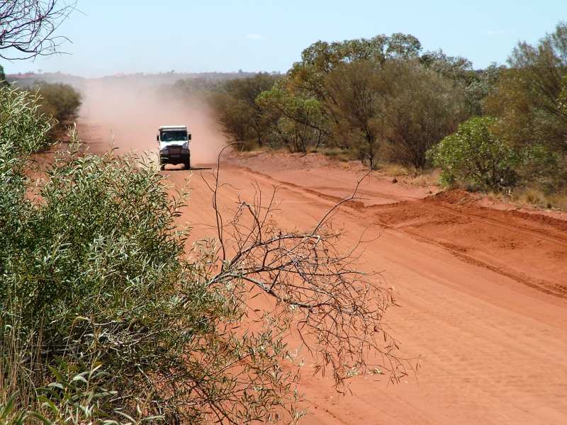
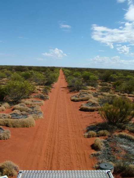
The first 250ks in the Territory are quite rough and corrugated. After we pass the border to WA, the track improves considerably. The grader has been there recently, we are driving relaxed at 85km/h.
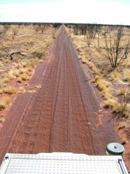
This is changing dramatically after we leave the Great Central Road and continue on the original Gunbarrel. In the following two days, we rarely exceed 25km/h. The track is so rough that the vehicle seems to fall apart if you're trying to drive faster.
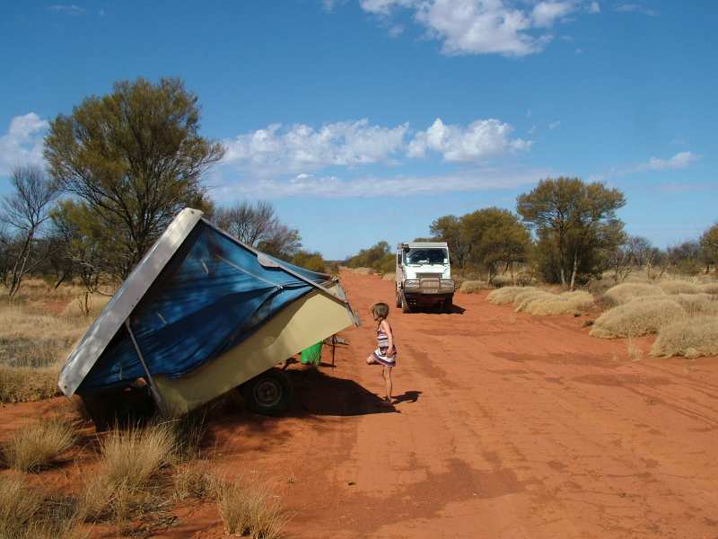
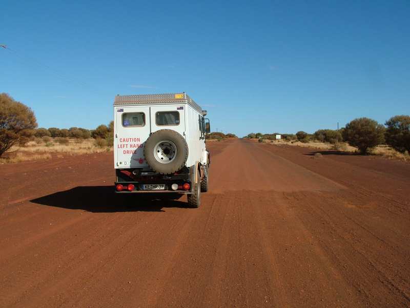
Aussies travelling in the bush usually have a Landcruiser, Nissan or some sort of ute and are towing a trailer. But some of the latter aren't built for these "road" conditions. Along the Gunbarrel we notice at least 14 abandoned trailers. This one has been left behind just recently. the towbar was broken.
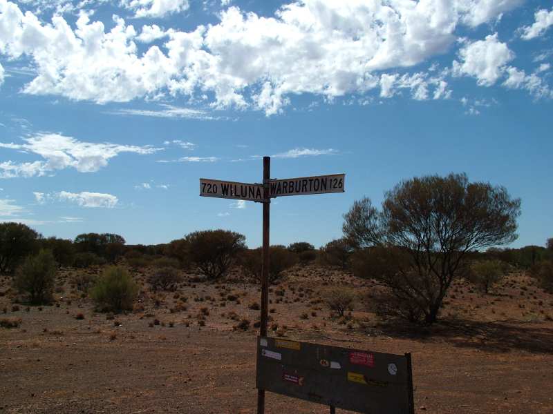
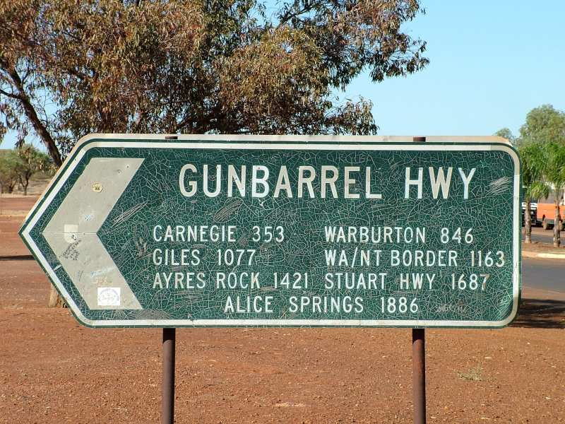
Outback junction. Between Warburton and Wiluna a small town in WA 720km west from here, there's only one human outpost, Carnegie Homestead, halfway along the track.
 |
 |
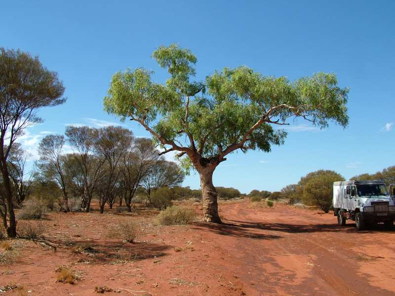
One of Len Beadell's trees. At easily noticeable trees the road building party left road signs indicating the distances in both directions. Those are still stated in miles, the metric system was established in Oz not until 1966.
 |
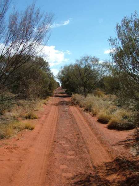 |
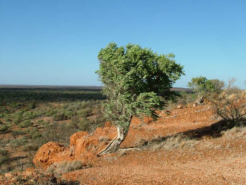
A strait line like a gunbarrel, that's how Lennie wanted to build his road. At times he was considering to rename it to corkscrew highway. Like several times before, we are happy about the small width of our vehicle. The track is often quite narrow or partly overgrown. If you're looking closely, you can see camel tracks on both pictures.
Early morning pilgrimage to Mount Beadell.
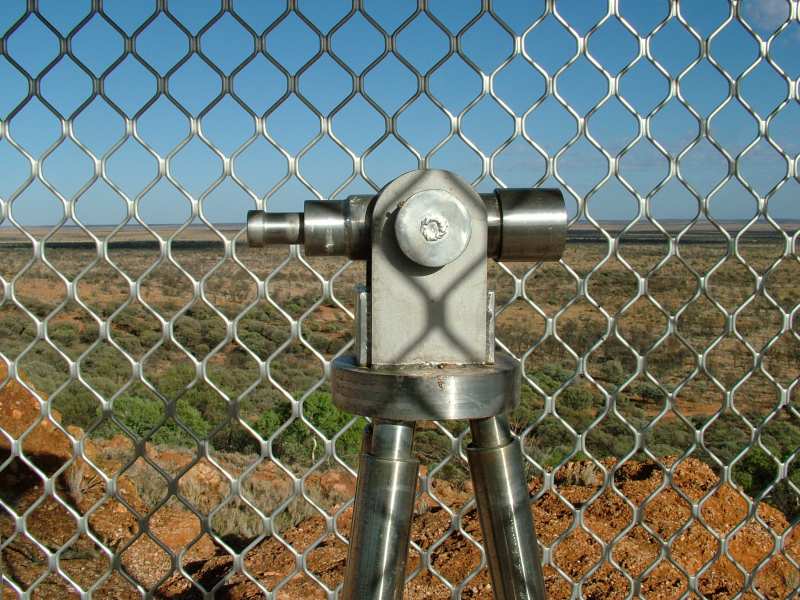
Lennies theodolite on Mount Beadell.
 |
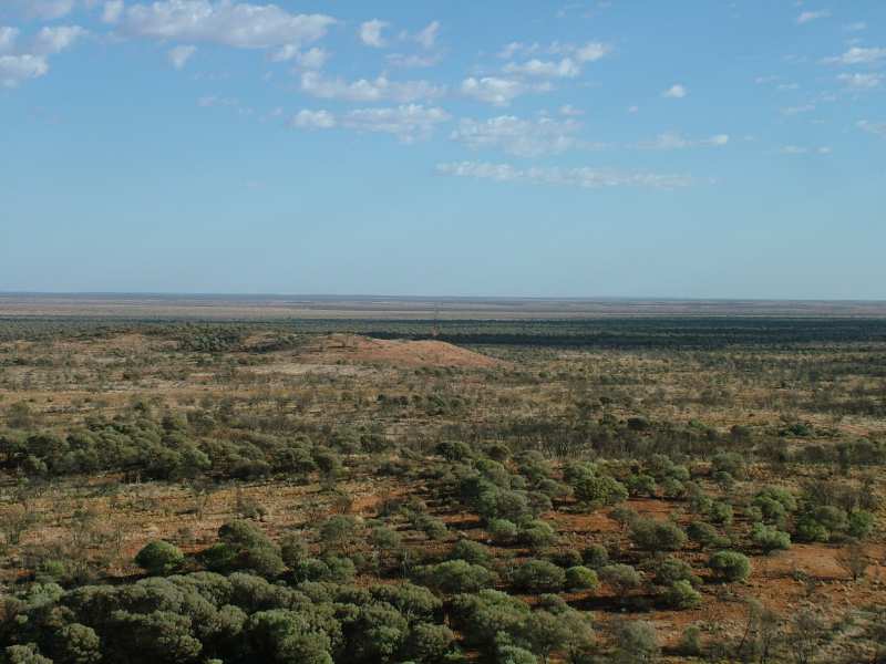 |
Views from the top. the track seems to disappear in the endlessness of the Gibson Desert.
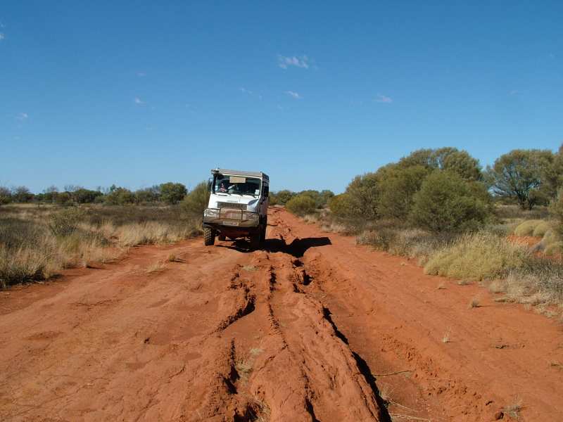
Partly there are sections with more or less deep washouts. Vehicles trying to move on after rain destroyed the track or it has simply been washed away. Where the main track deteriorated too much, motorists opened new tracks left or right of it. Especially in sections with very bad corrugations there are sometimes five or more parallel tracks.
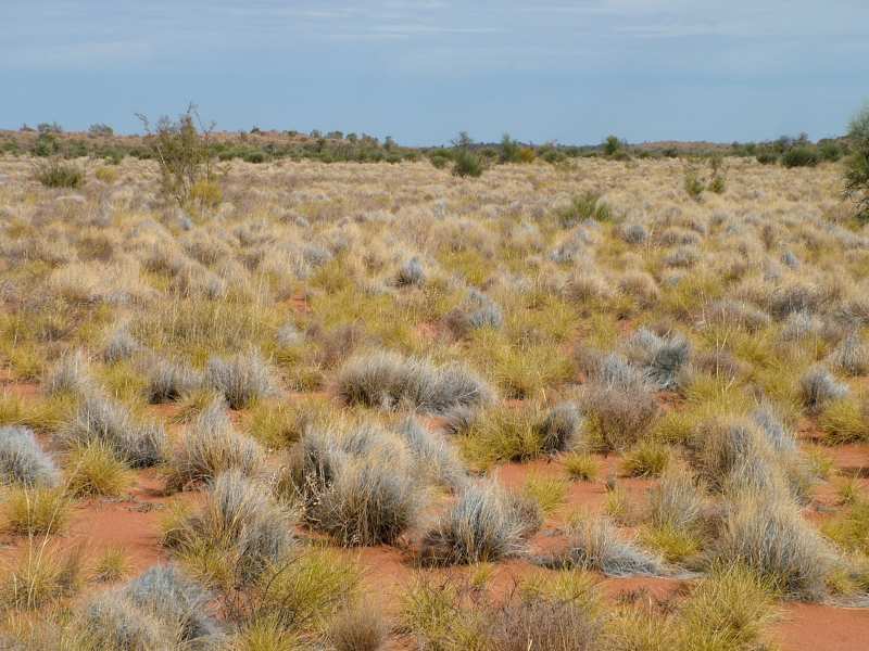
Heading west we drive through large areas covered with Spinifex. Seeds and stalks can block the airflow through the radiator or may even set the vehicle on fire.
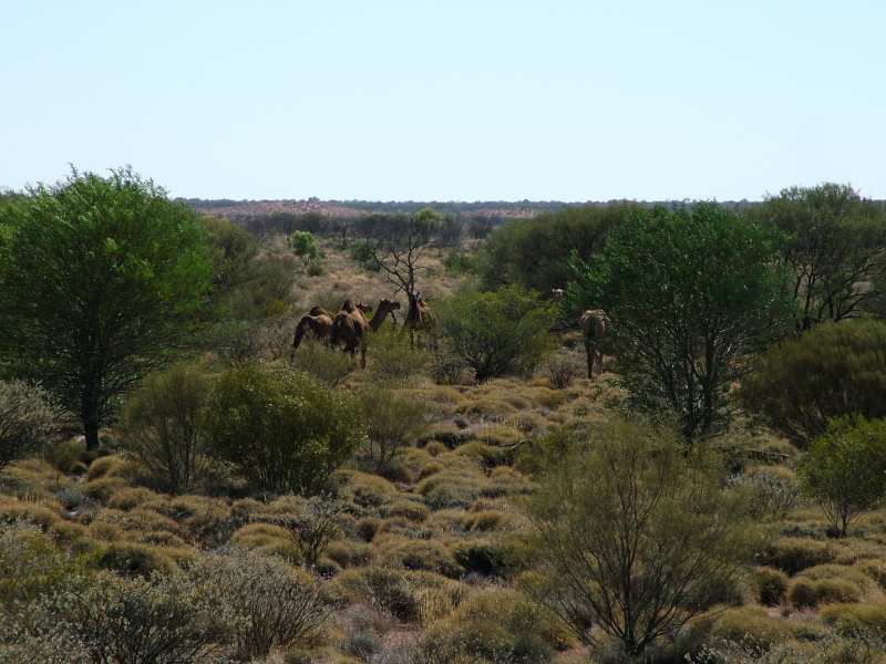
Wild camels next to the Gunbarrel Highway. Strictly speaking, they are dromedaries, but the Aussies call them camels. Australia nowadays is the only country with wild animals of this species. An estimated 500,000 of them are cavorting in central Australia. Slowly they are becoming a pest and the authorities seriously consider to shoot some of them to reduce the numbers. Camel meat by the way is tasting delicious.
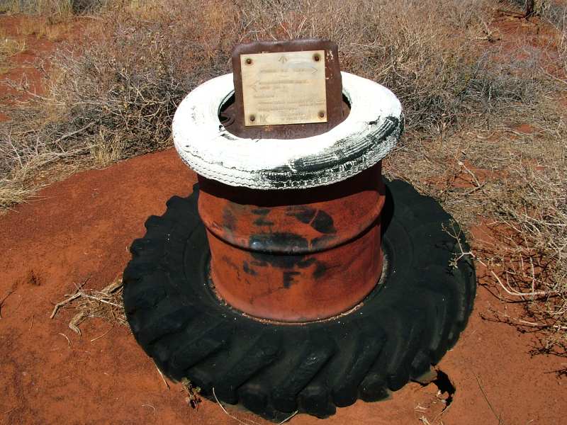
At the Everard junction. The path heading north is the Gary Highway leading to the Canning Stock Route. Next to this "road sign" there's a box with a visitors' book. The first entry in the current book is dated January 2001. It reads: "It's raining, the road is a river!" Heavy rain can cause a compulsory break of several days. First thing you have to do, if it is starting to rain, is to collect the rain water and use it as drinking water.
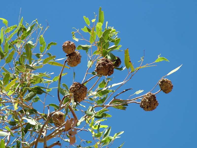
Appetising fruit at Geraldton Bore.
 |
 |
Sunset mood at Mungilli Claypan. Only a few guests are visiting the lounge bar of the
five million star hotel tonight.
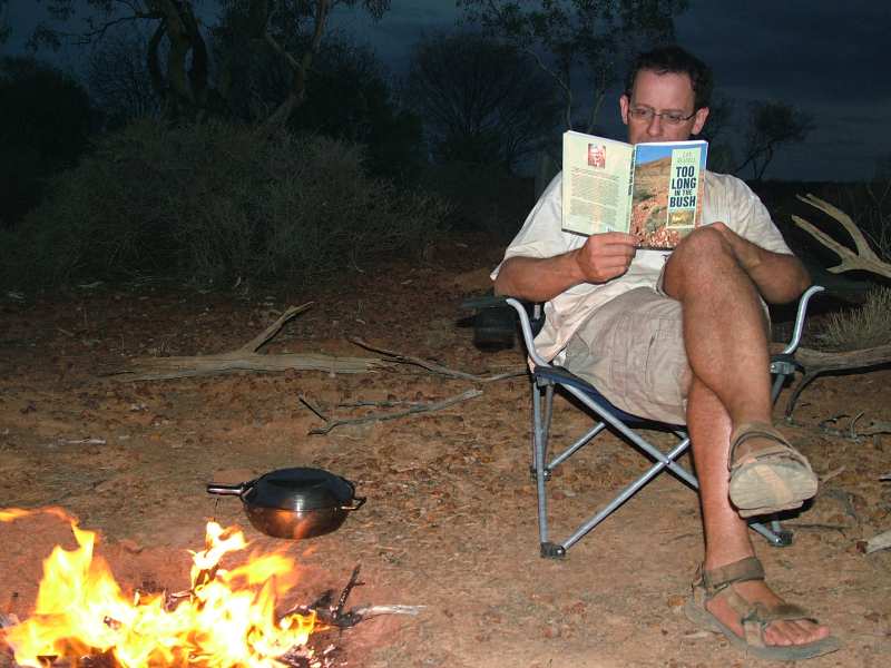
"Too Long in the bush" is the title of the book from Len Beadell that is
humorously describing the construction of the Gunbarrel Highways. "Too long" is
the period it takes to turn the particular individual into an outback addict. We are all
seriously affected.
 |
 |
Continuing there are huge sand dunes with more dense and colourful vegetation. Easily six meters long is this column of caterpillars crossing the track. If you take away the leader, the others are heading unoriented in different directions.
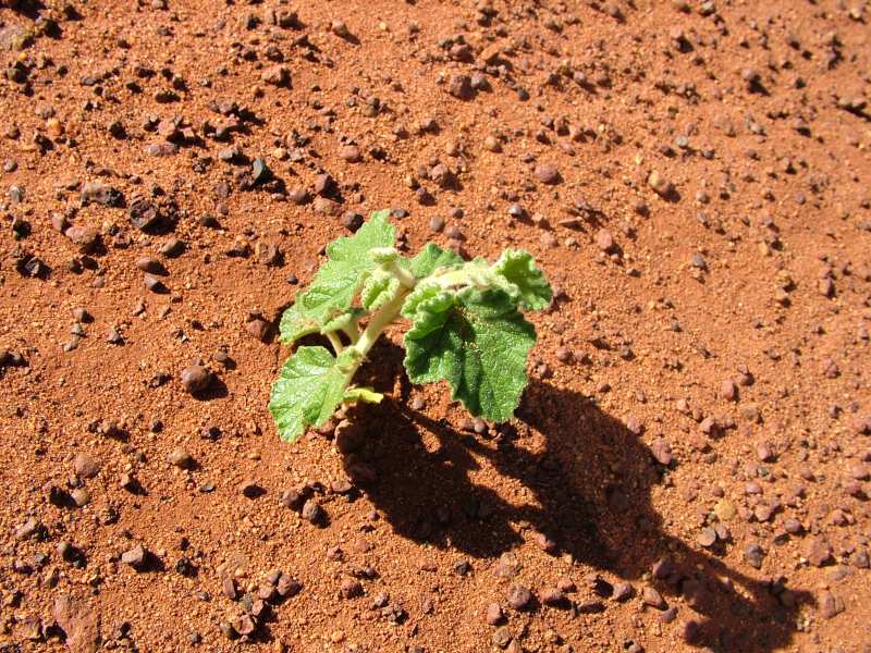
The vegetation is able to survive with just a few dew drops.
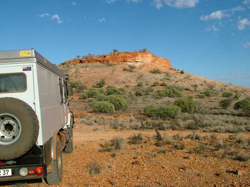
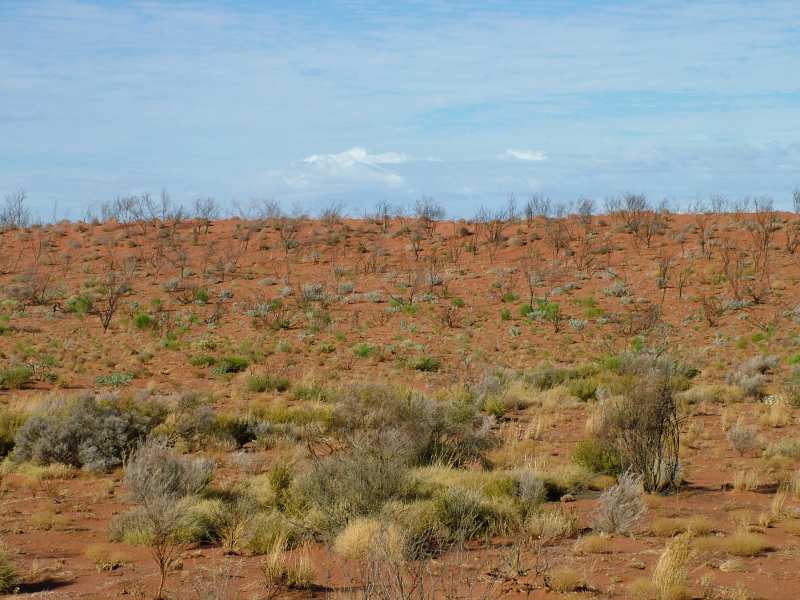
Nature painted in thousands of pastel-colours. Some people we met on our way discouraged us from visiting West Australia's desert regions, arguing that there's nothing to see. Others went into raptures. We stick to the latter group, considering our visit to this area as one of the most beautiful and awe-inspiring experiences on our trip.
The last drops of water are gone. Until recently the camels have been able to find water here.
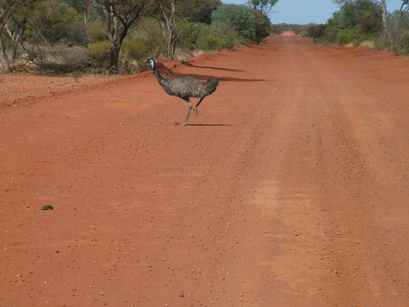
Australians drive on the left hand side of the road, thus the emu is overtaking us on the right, and the turns left into the bush.

Carnegie Homestead the easternmost farm in this part of WA. From here it's just another 340km without any form of settlement until Wiluna.
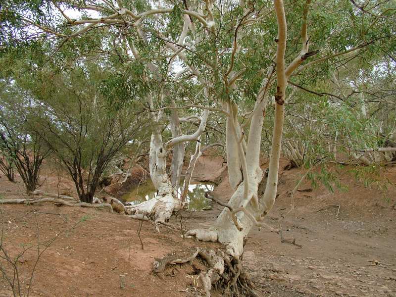
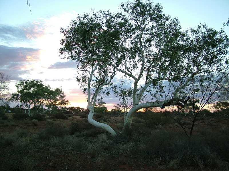
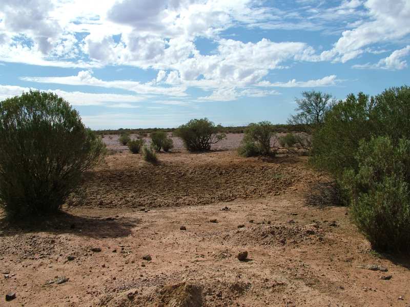
Morbid mood at a rest area 70ks west of Carnegie. The water that's left seems to be brackish, there are carcasses of kangaroos and birds. The smell of carrion is in the air. The ghost gums match to te scenery.
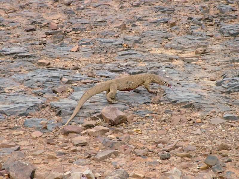
The Perentie seems to have a good time, he loves carrion and dinner's about to be served. They are the biggest of the monitor lizards and reach a length of up to 2 meters.
 |
 |
So we've lost a handful of small bolts but gained in experience, one we would not want to miss. It took us six days to get from the Olgas to Wiluna. After the turnoff near Warburton we only met other travelers on the third day, a "grey nomad" couple in their troopie and three blokes from WA heading in the other direction. For the rest of the trip, only the flies have been our companions. We've been enjoying every single pothole.